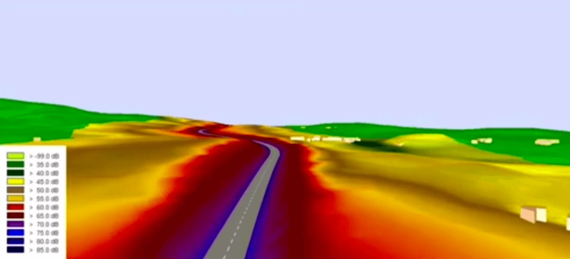
Noise maps are cartographic representations of the sound pressure levels existing in a specific area and in a specific period (daytime, evening, nighttime). These noise levels are associated with the number of people living in the area in question, and provide valuable information on the amount of population exposed to a given noise threshold.
Directive 2002/49/EC of the European Parliament and of the Council establishes a timetable for the preparation of strategic noise maps and action plans based on the number of inhabitants and traffic density in each area. In addition, Directive 2015/996/EU requires EU Member States to draw up action plans aimed at addressing noise issues and their effects in each of their territories. These actions include, if necessary, noise reduction in places near major roads, major railways, major airports and conurbations.
According to this regulation, and in order to have traceability of new railways and roads, it is necessary to carry out acoustic measurements with homologous criteria according to the legislation and ISO standard. These measurements must be carried out by an entity authorized by the competent administration in each autonomous community that allows comparing the verified noise magnitudes of each area.
